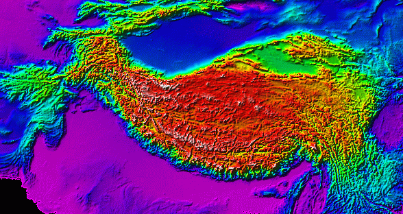
Understanding the orographic development of the Tibetan Plateau through time is essential to the UMBRELLA project and measuring past landscape height is core to that understanding. It is the shape and height of the land surface that interacts with the atmosphere that in turn affects climate, vegetation type and drainage patterns, all of which feedback to influence topography and in turn climate over varyng timescales.
In our recent review of how thinking about how Tibetan topographic evolution has changed in the last 30 years or so (see: Why the ‘Uplift of the Tibetan Plateau’ is a myth) we highlighted the importance of the early rise of the Hengduan Mountains and eastern Tibet. We now have another key part of the uplift puzzle published in the form of a quantitative measurement of surface height change in the Gonjo Basin. This Basin is about 100 km northwest of the Mankgang Basin that we visited last year (Fig.1), and we show that the Gonjo Basin rose around 3.1 km from ~ 700 m above mean sea level to 3800 m between 54-50 million years ago (Ma) and 44-40 Ma.
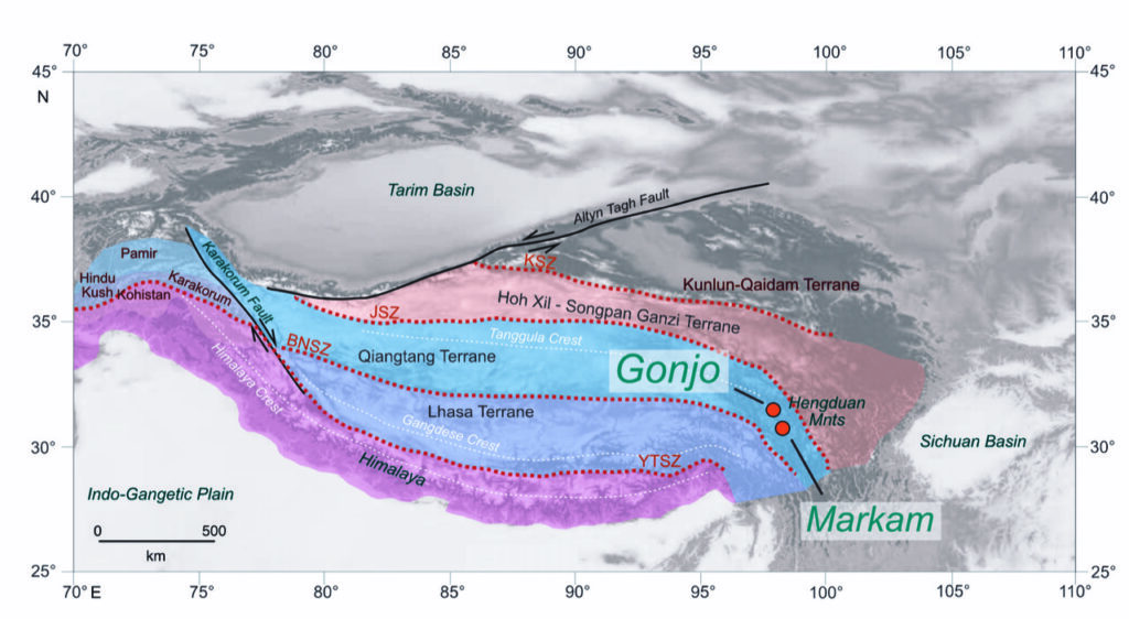
This uplift was accompanied by a change from desert vegetation, including palms, to cool moist temperate woodland and extended the Qiangtang highlands (now the Tanggula Mountains) eastwards to form the Central Watershed. This important orographic feature today divides drainages feeding to the Indian Ocean from those flowing to the Pacific. Led by graduate student Zhongyu Xiong based at the Institute of Tibetan Plateau Research under the supervision of Prof Ding Lin, this work is published as Open Access in EPSL (https://doi.org/10.1016/j.epsl.2020.116312) and integrates a broad range of UMBRELLA expertise including radiometric dating, palaeobotany, isotope palaeoaltimetry and isotope-enabled climate modelling.

